Air Force Installation Development Plans
Project Details
Solutions
Location
Multiple Locations
Client / Owner
United States Air Force
Focus Areas & Services
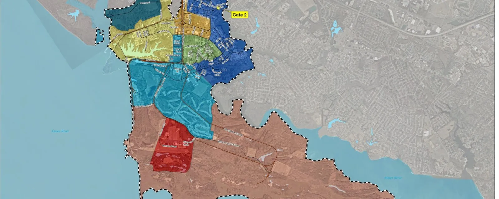
RS&H’s Master Planning and GIS Mapping role in the Installation Development Plan (IDP) process was to produce the IDP document and populate sections concerning installation capacity analysis, sustainable development indicators, future development planning, plan implementation, and GIS mapping for Eielson AFB, AK; Sheppard AFB, TX; FE Warren AFB, WY; Joint Base Langley-Eustis, VA and Goodfellow, AFB, TX. The documents for all five bases were produced concurrently.
The IDP is one of the foundational planning documents for the Air Force (AF) and is a key component in the AF strategic master planning and programming process. The IDP provides tools (land use plan, framework plan, transportation network plan, and form-based planning standards) to guide long-range development at the installation level.
For each of the five (5) bases, key elements included a week-long on-site data collection effort, which entailed a series of meetings with base leadership and key stakeholders. This was followed by the Vision Plan workshop, an intensive two-day charrette facilitated by project team personnel. The workshop attendees participated in a series of group exercises that culminated in a vision statement, goals and objectives, framework plan, and alternative development scenarios. Our tasks included data gathering and analysis; employing and facilitating a broad-based collaborative process/workshop to define the installation’s planning vision, goals, and objectives; establishing an installation planning framework using form-based planning elements; delineating actual and potential Area Development Plans (ADPs); and summarizing a practical capital investment strategy for IDP implementation. Additionally, RS&H documented installation capacity opportunities and sustainable development indicators, as well as producing plan graphics using GIS/GeoBase data and AFCEC-provided map templates.
From this collected and collaborated information, RS&H planners synthesize and integrate each installation’s-specific data into their IDP document to accurately portray existing and projected conditions to allow effective and economical decisions concerning the growth and development of each installation. The plan was supplemented by illustrations and GIS mapping created by graphic designers and geospatial personnel, in accordance with AF templates and GIS guidance.


