Monroe County Coastal Storm Risk Study
Project Details
Solutions
Location
Monroe County, FL
Client
Florida Department of Transportation, District Six
Focus Areas & Services
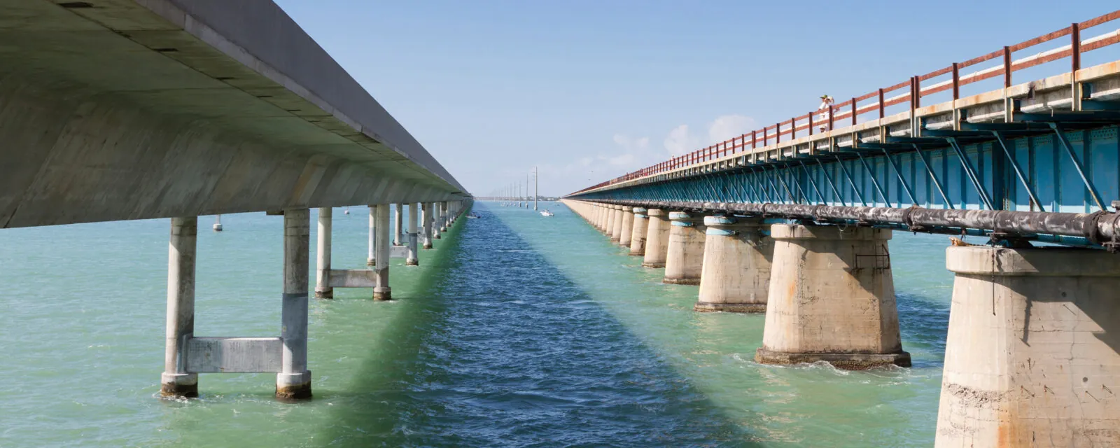
The Overseas Highway (US 1 in Monroe County) is one of America’s most scenic and vulnerable. It spans over 116 miles with 61 bridges and is the sole evacuation route connecting the Key West to the U.S. mainland. The Florida Keys have been historically subject to flooding, often resulting in damage to transportation infrastructure and impacting emergency operations and the economy. Increases in the frequency and severity of flooding will intensify flood risk to the road transportation network over time.
RS&H is working with the Florida Department of Transportation to identify and prioritize vulnerabilities to flooding along the corridor and develop concepts to ensure the continuation of service following a flooding event now and in the future.
Current methodologies for conducting vulnerability assessments prioritize vertical structures over the distinct characteristics of horizontal infrastructure. RS&H is leveraging synergies between its resiliency consultancy and its transportation design expertise to develop a novel approach for evaluating flood risk along the corridor that incorporates methods from the Federal Highway Administration, U.S. Department of Transportation, and prior studies, including a geodatabase that combines extensive FDOT asset data, digital elevation models, and models of sea level rise, storm surge, and wave action.
The resulting Monroe County Coastal Storm Risk Study (MCCSRS) is prioritizing vulnerable roadway and bridge infrastructure, informing planning for resilience within the district, harmonizing with state-level resilience action and implementation planning, and developing data-driven adaptive design concepts for minor (final design) and major projects (planning with potential to support Project Development and Environment (PD&E) that can leverage federal funding for resilience projects.


